freshkills_map_rectified » freshkills_map_rectified
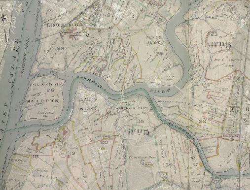
An aerial photo from 1996 overlaid with a map detailing the Fresh Kills region from 1907
This entry was posted on Thursday, February 25th, 2010 at 4:33 pm and is filed under . You can follow any responses to this entry through the RSS 2.0 feed. You can leave a response, or trackback from your own site.
